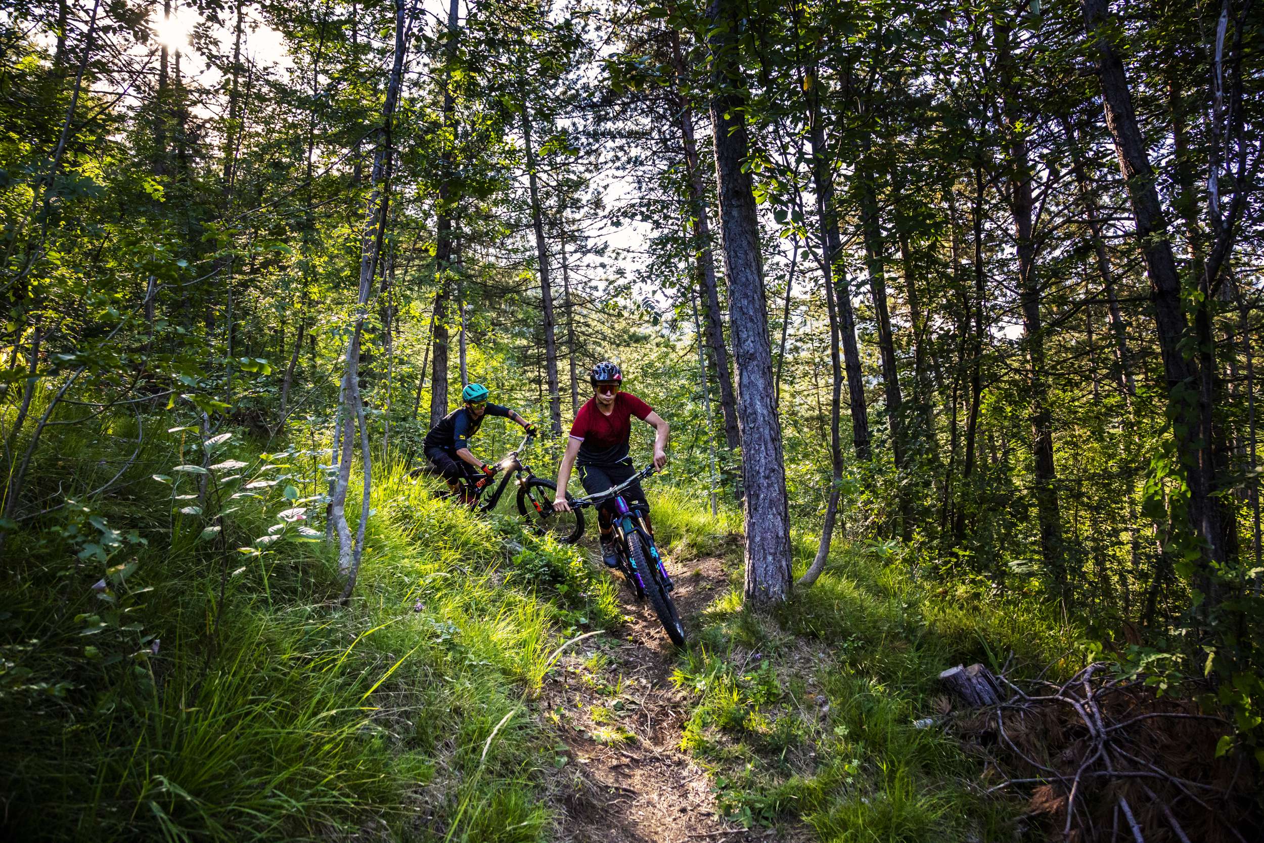
01 - MTB IL CRINALE MANIVA / BRESCIA
- Activity
- Mountain bike
- Distance
- 65 km
- Elevation drop
- 2100 m
- Difficulty
- Hard
- Duration
- 08:00
- Minimum altitude
- 211 m a.s.l.
- Maximum altitude
- 1746 m a.s.l.
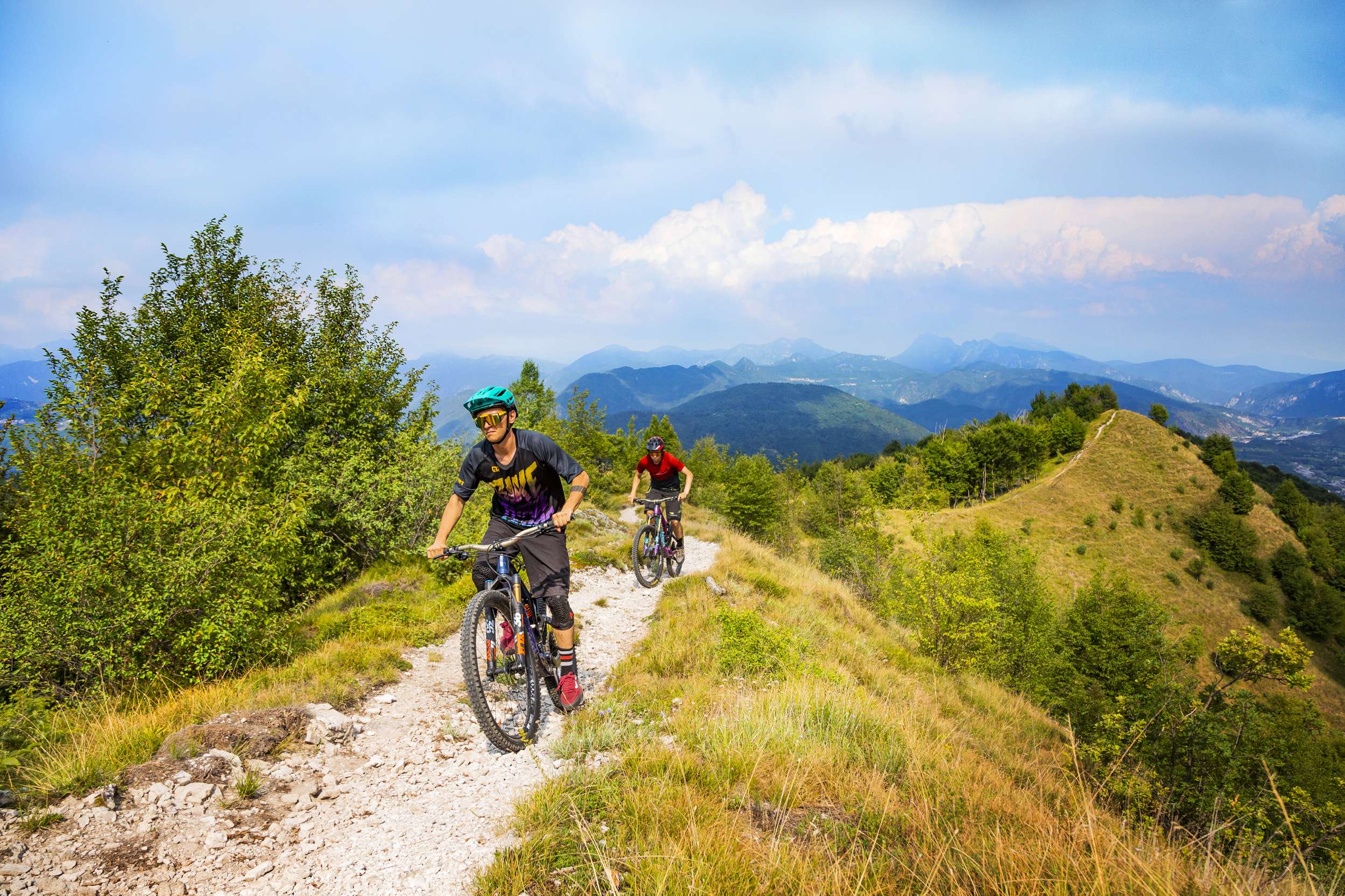
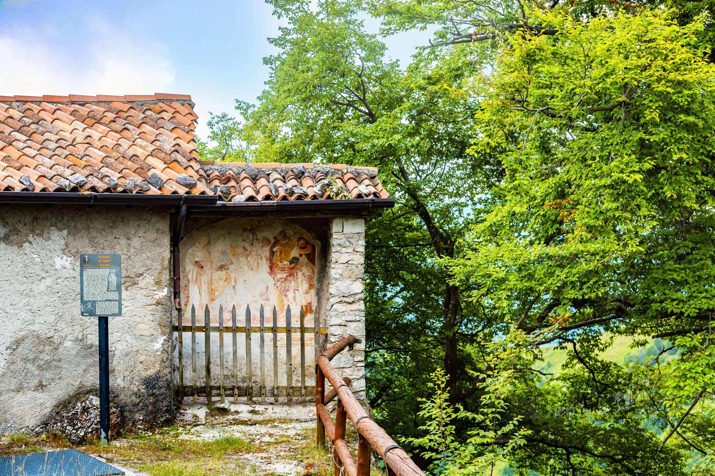
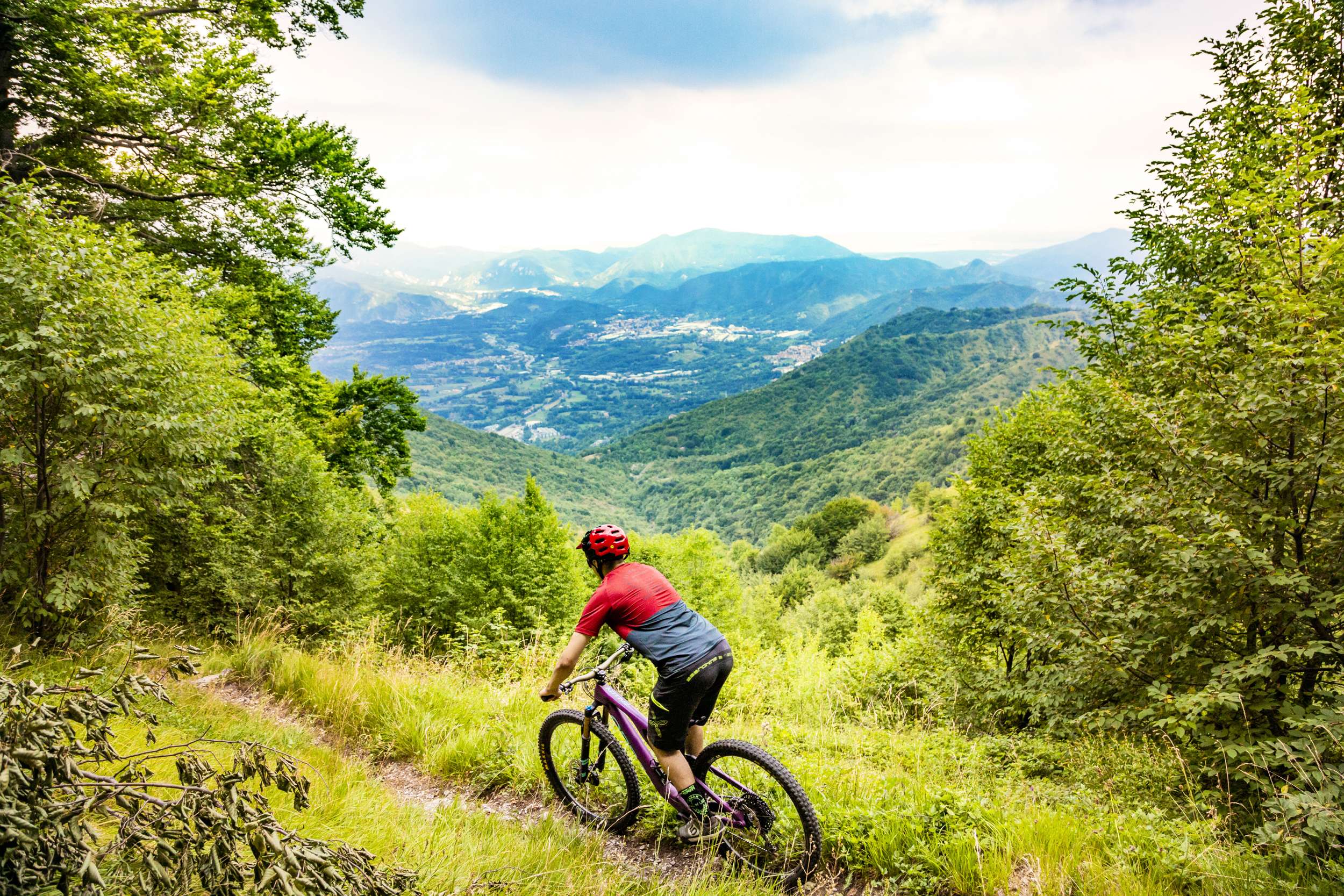
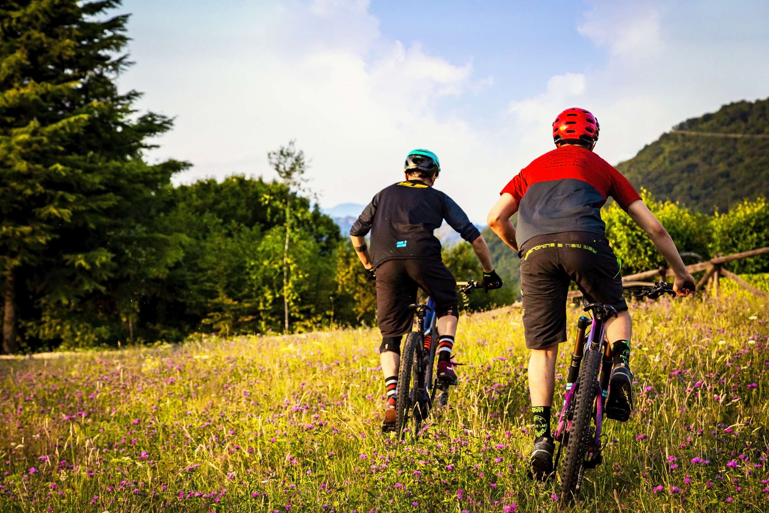
General description
This is the backbone of MTB tracks of the Resilient Valleys project.
This fascinating and evocative route is a journey between Valle Trompia and Valle Sabbia, starting from Mount Maniva - the highest and northernmost junction point of the two valleys - reaching the city of Brescia, along with amazing landscapes as you pass by.
Recommended for expert bikers, this route can be hard for its technical difficulty in some sections and also for some challenging inclines to deal with.
Suitable for all types of MTB, a medium-range full-suspension bike is recommended.
40% single track, 40% unpaved road, 20% asphalt